"Should we use Esri or open source?" is usually asked like a matter of philosophy. We treat it as a procurement decision, answered by the same questions as any other build-or-buy call. Here is the framework we walk through with clients, in order.
1. What do you already have?
Existing ArcGIS licences, staff who think in ArcGIS Pro, years of data in an enterprise geodatabase: these are real assets, and a migration that throws them away needs a strong reason. The reverse is equally true for a team fluent in QGIS, PostGIS and Python. The cheapest stack is often the one your people already know.
2. What shape of cost fits you?
Neither option is free. Commercial licensing is a predictable subscription; open source trades licence fees for engineering time in setup, integration and maintenance. Organizations with budget but little development capacity often do better with ArcGIS Online's managed platform. Teams with developers and per-user counts that would multiply licence costs often do better with open source. Be honest about which you are.
3. What does the requirement actually need?
Some needs point clearly one way:
- Toward the Esri ecosystem: integrated field data collection, print-quality cartography at scale, enterprise administration with vendor support, and organizations standardized on it for collaboration.
- Toward open source: public-facing web maps served to many users without per-user economics (MapLibre, Leaflet, OpenLayers), custom data pipelines (GDAL, PostGIS), unusual deployment targets, and anything that must run without vendor dependencies.
4. Where are the exit doors?
Whatever you choose, insist on open interchange: OGC standards for services, open formats (GeoPackage, GeoTIFF and Cloud Optimized GeoTIFF, GeoJSON, GeoParquet) for data at rest, and documented APIs. Lock-in is rarely caused by choosing a vendor; it is caused by letting data and workflows exist only in vendor-specific forms. Keep exports scripted and tested, and the decision stays reversible.
Most real answers are hybrid
In practice the stacks mix well: a PostGIS processing pipeline publishing to ArcGIS Online for field crews, QGIS sitting beside ArcGIS Pro for specific tasks, or an open-source web map on top of imagery managed in the Esri ecosystem. Our position is the same one we give in our FAQ: open source where it saves you licensing costs, commercial where it is the right tool, and the choice made per requirement rather than per ideology.
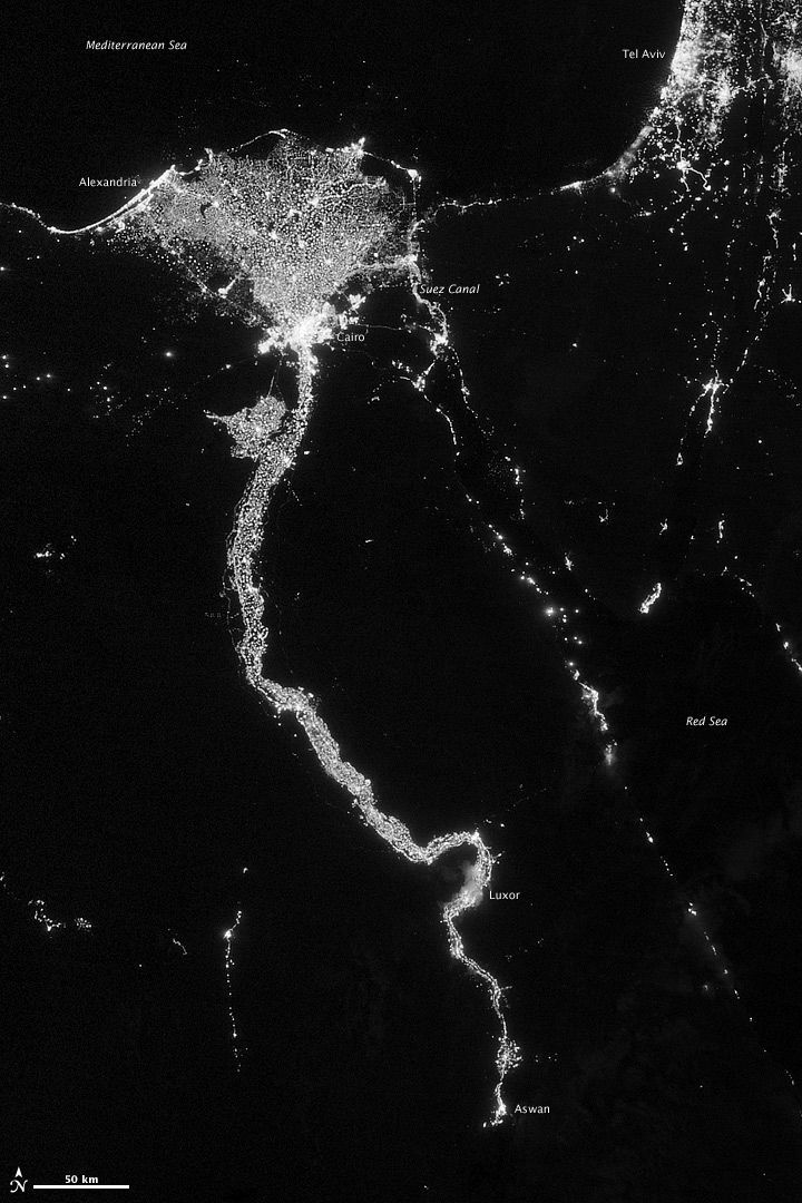
Image: the Nile at night, Suomi NPP VIIRS, October 2012. NASA Earth Observatory (public domain).