STAC comes up in almost every conversation about satellite and aerial imagery, and it is routinely described as a tool, a database, or a product. It is none of those. STAC, the SpatioTemporal Asset Catalog, is a specification: an agreed way to describe what a piece of geospatial data is, where it is on Earth, when it was captured, and which files make it up.
The problem it solves
Every organization that collects imagery eventually reinvents the same spreadsheet: a list of scenes with columns for date, sensor, footprint and a file path. Every provider used to publish that list differently, so every downstream user wrote custom code per provider. STAC replaces the private spreadsheet with a shared format, so one set of tools can search anyone's catalog.
The four building blocks
- Item: one observation, such as a single satellite scene. It is a GeoJSON feature with a geometry, a datetime, and links. Anything that can read GeoJSON can already read the heart of STAC.
- Asset: an actual file an Item points to, like a Cloud Optimized GeoTIFF for each band, a thumbnail, or metadata.
- Collection: a group of related Items, for example everything from one sensor, with shared licence and description.
- Catalog: the entry point that links collections together.
A static STAC is nothing more than these JSON files sitting on object storage, crawlable by following links. The STAC API adds a search endpoint on top ("everything over this bounding box, June to August, under 20 % cloud") for programmatic access.
Why it took off
The specification hit 1.0 in 2021 and the ecosystem grew around it rather than around any single vendor: pystac for reading and writing, stac-fastapi for serving, STAC Browser for exploring, and large public catalogs such as Microsoft's Planetary Computer and AWS's Earth Search that expose petabytes of Landsat and Sentinel data through the same interface. Learning the format once pays off everywhere.
Does your organization need one?
A useful test: can a colleague find last spring's flight over the northern district without asking the one person who knows the folder structure?
- A handful of static layers that rarely change: you do not need STAC.
- Recurring imagery across sensors, dates and areas, with more than one consumer: a static STAC on your existing storage is cheap insurance, and no server is required.
- Applications that need to query holdings, or you publish data to others: a STAC API is worth the extra moving part.
The quiet win is that STAC decouples your data from your software. Whatever viewer, pipeline or platform comes next, a well-described catalog moves with you.
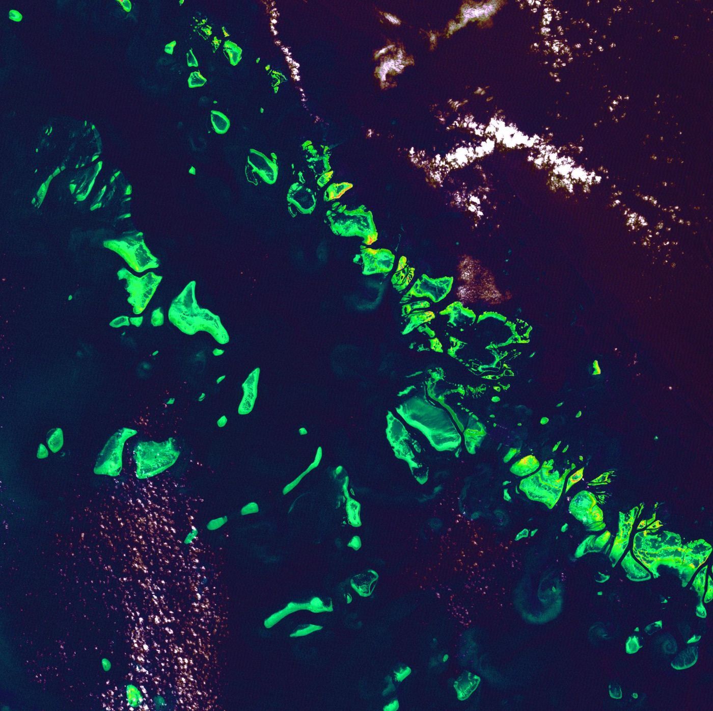
Image: false-colour Landsat 7 view of the Great Barrier Reef, 1999. NASA (public domain).