Every flat map of the Earth is wrong, because the Earth is not flat. A projection is the set of rules for flattening it, and every set of rules gives something up: areas, angles, distances, or directions. The only real question is which distortion you can live with for the task at hand.
The famous example
On a Mercator map, Greenland looks about the size of Africa. On the actual planet, Africa is roughly fourteen times larger (about 30 million km² against Greenland's 2.2 million). That is not a mistake in the map; it is the price Mercator pays for its genuine virtue. Mercator is conformal: it preserves angles and local shapes, which is why a constant compass bearing draws as a straight line. It was designed in 1569 for sailors, and for sailors it is excellent. Area comparisons were never part of the deal, and the stretching grows without limit toward the poles.
Web Mercator is a default, not a recommendation
Nearly every web basemap (the tiles under Google Maps, OpenStreetMap and most mapping libraries) uses Web Mercator, EPSG:3857, because square tiles that nest cleanly at every zoom level make serving maps simple, and at street zoom the distortion is negligible. That makes it a fine display choice and a poor measurement one. Software that naively computes areas or distances in Web Mercator inherits the polar stretching: a parcel measured in 3857 at Norwegian latitudes can come out more than twice its true area.
Matching the projection to the job
- Measuring area (land cover, service territories, habitat): use an equal-area projection, such as an Albers conic fitted to your region or Equal Earth for world maps.
- Local engineering and surveying: use the local grid — a UTM zone (6° wide, coordinates in metres, distortion small inside the zone) or a national/state system such as US State Plane, which is what your survey data is probably delivered in already.
- Navigation and anything angle-critical: conformal projections, Mercator included, earn their keep.
- Storage and interchange: plain latitude/longitude on WGS 84 (EPSG:4326) is the lingua franca. Store coordinates there, record the CRS explicitly, and reproject per task.
The bug to watch for
The classic geospatial defect is doing arithmetic on raw latitude/longitude as if degrees were metres — a "buffer of 0.01" that is 1.1 km north-south everywhere but shrinks east-west as you leave the equator. The fix is discipline, not cleverness: know which CRS every dataset is in, keep it recorded in the data (GeoTIFF, GeoPackage and GeoParquet all carry it), and reproject into an appropriate projected CRS before measuring. Modern libraries (PROJ, and the GIS tools built on it) make the transformation the easy part; knowing that you need it is the hard part.
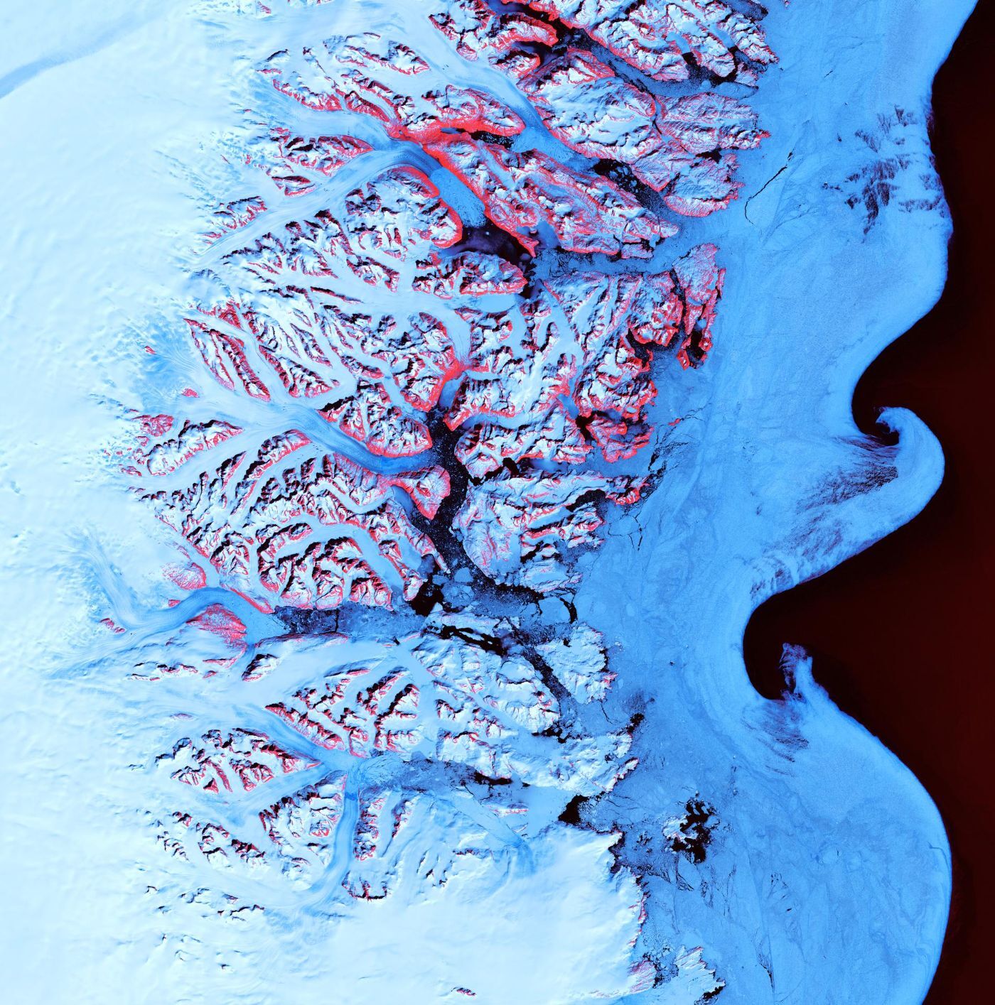
Image: fjords and sea ice along southeastern Greenland, Landsat 7, May 2001. USGS/NASA/Landsat 7 (public domain).